
TETER ROCK
in Teterville, Kansas


Location and Directions
Google Maps GPS will send you directly to Teter Rock. It knows the road after you turn into the entrance and will get you to the rock itself. Here are the GPS coordinates to use:
38°01'46.9"N 96°25'23.9"W


- animal
- art
- astronamy
- barb wire
- barbed
- beautiful
- beauty
- calm
- camping
- cg
- chase
- chase county
- cloudscape
- colorful
- commercial use
- commerical photography
- cottonwood falls
- council grove
- county
- courthouse
- creek
- decor
- download
- editorial photo
- falls
- field
- flint
- flint hills
- frameless
- grass
- green
- hang
- hanging wall art
- historical site
- home
- horse
- kansas
- kansas clouds
- kansas field
- kansas flint hills
- kansas horse
- kansas landscape
- kansas night
- kansas photo
- kansas photography
- kansas prints
- kansas stars
- kansas stock photo
- kansas storm
- kansas sunset
- kansas waterfall
- lake
- landscape
- leaves
- love
- lower
- milky way
- nature
- night
- office
- outdoors
- photo
- photo printing
- photo stock
- photography
- pranther
- pranther creek
- pretty
- rusty
- scenic
- school
- sky
- stock
- stock photo
- stock photography
- stock picture
- storm
- strong city
- sunlight
- sunrise
- sunset
- tallgrass
- tallgrass prairie preserve
- travel
- tree
- trees
- usa
- wall art
- wall decor
- wall mount
- wall prints
- water
- waterfall
- wheat
- wichita
- wild
- wilderness
- wildlife
- wood mount
- work
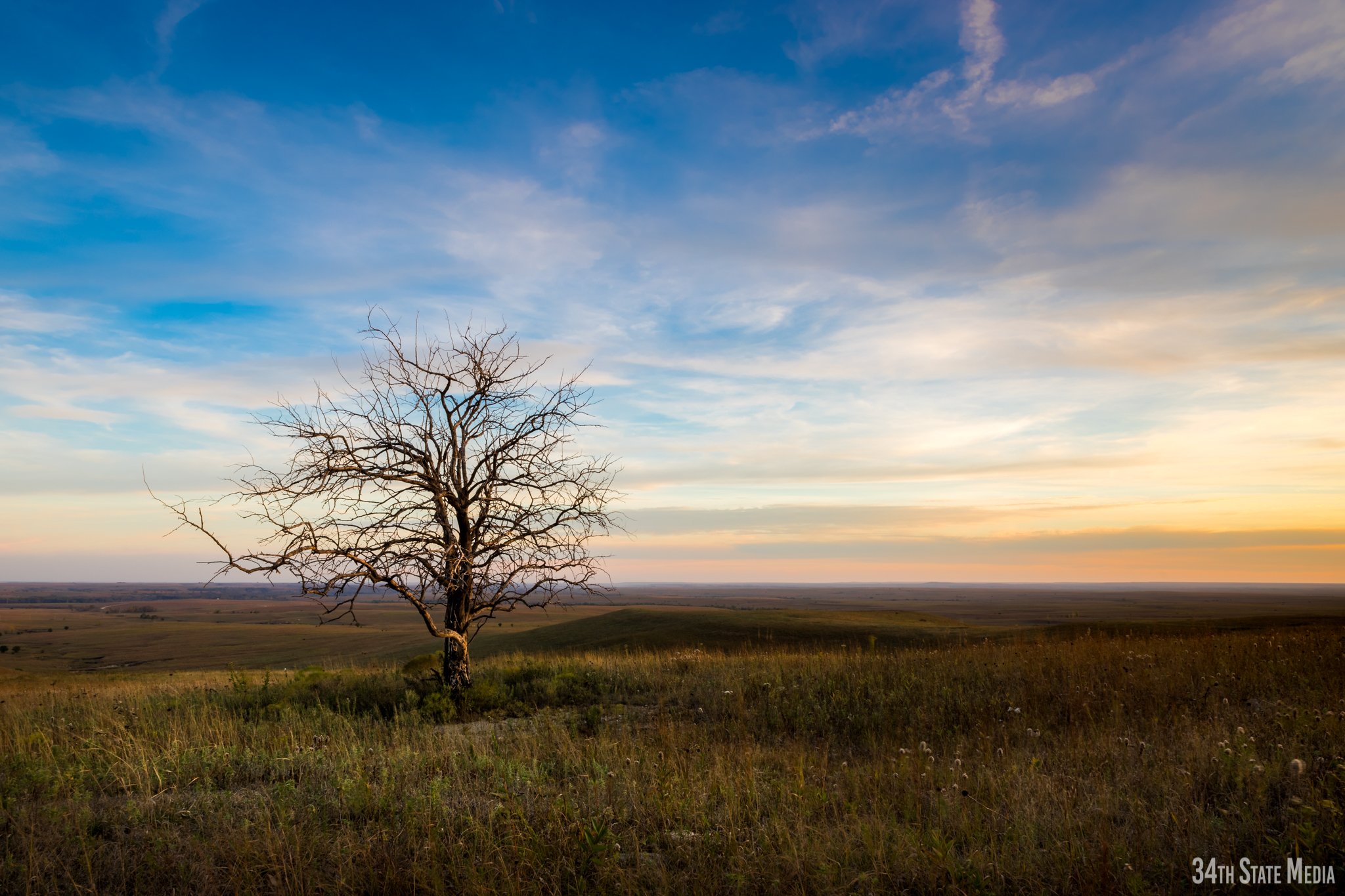
Flint Hills Sunset Near Teter Rock - A rock in the Kansas Flint Hills with Teter Rock in the distance
*Click photo to enlarge
Mounting option details (Wood Plaque Mount, Canvas Wrap, Acrylic Mount, Paper Print Only)
Commercial photo license information